Search Tool
The Search Tool is located on the upper left corner of the map.
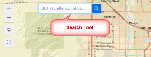
You can enter any valid Street Address with a House Number in Maricopa County.
Example:
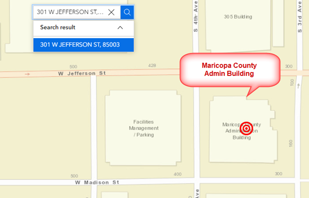
301 W JEFFERSON ST
Note: The case does not matter. Including the Zip code is optional.
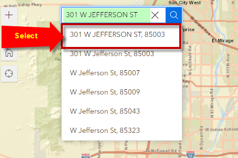
Select 301 W JEFFERSON ST, 85003 from the list of matches.
Click on the Search Result
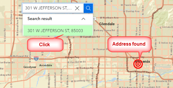
The map zooms to the Maricopa County Administration Building.
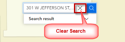
Clear this search.
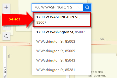
Enter another Street Address:
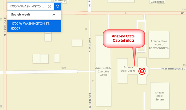
1700 W WASHINGTON ST
Select 1700 W WASHINGTON ST, 85007 from the drop-down list.
Click on the Search Result.
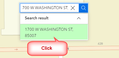
The map will zoom to the Arizona State Capitol Building.
If you do not have the exact house number, you can enter the nearest cross street separated by an & sign.
For example:
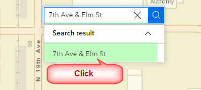
7th AVE & ELM ST
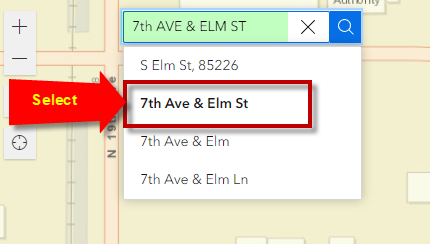
Click on the Search Result
The map will zoom to the Street Intersection.
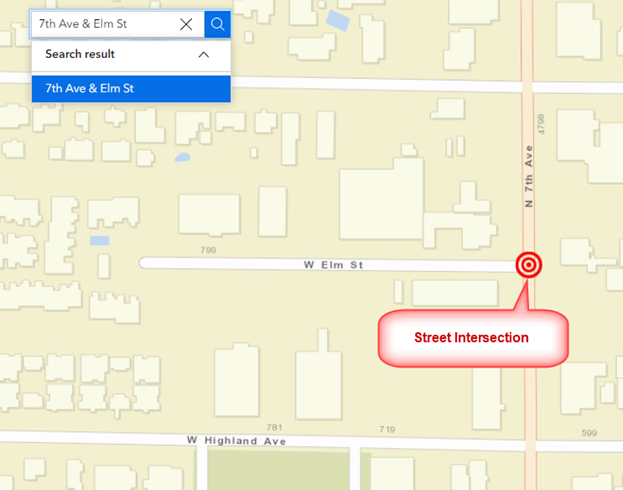
Try a few more Street Intersections:
15th AVE & VAN BUREN
7TH AVE & CAMELBACK
INDIAN SCHOOL & CENTRAL
There is yet another powerful feature hidden within this Search Tool.
You can instantly zoom to any Parcel in Maricopa County if you have the correct Parcel Number.
Example:
211-67-062E
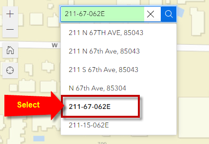
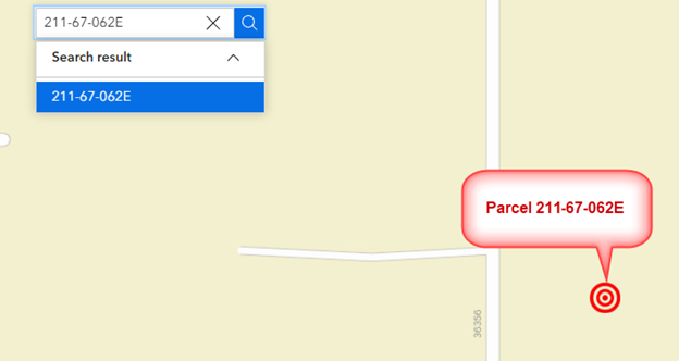
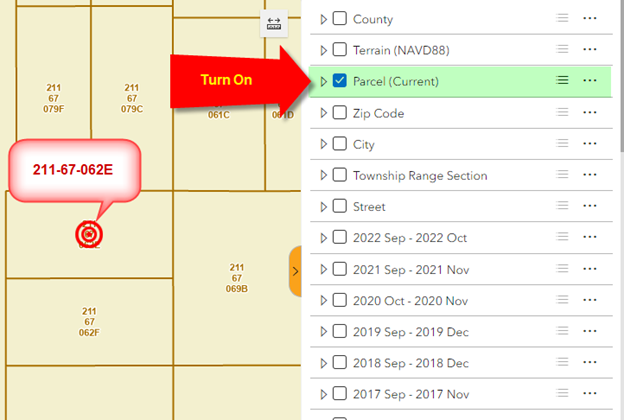
Turn on the Parcel Layer to see the Parcel Boundaries and Parcel Numbers.
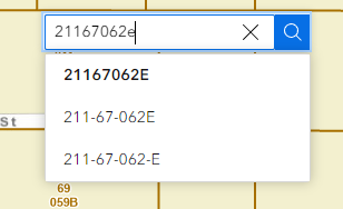
You may enter the Parcel Number in any format, with or without dashes.
211-67-062E
211-67-062-E
21167062E
21167062e
The Search Tool will be able to parse all of them.
